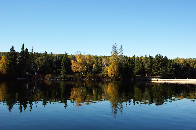
Get link Facebook X Pinterest Email Other Apps August 31, 2020 Since the leaves are starting to change here in Kingsford, here's some Island color from way back when. Read more
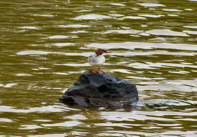
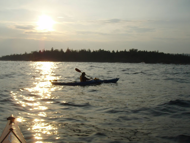
Get link Facebook X Pinterest Email Other Apps August 29, 2020 Moskey Basin rock with a Merganser. Read more
Get link Facebook X Pinterest Email Other Apps August 28, 2020 Spring of 2010, on the Mott loop. When the Mott loop looks like this, it's almost a given that the rest of the island is going to give the Trail Crew an "interesting" year. Read more
Get link Facebook X Pinterest Email Other Apps August 27, 2020 From the top of the water tank, opening week many years ago. Read more
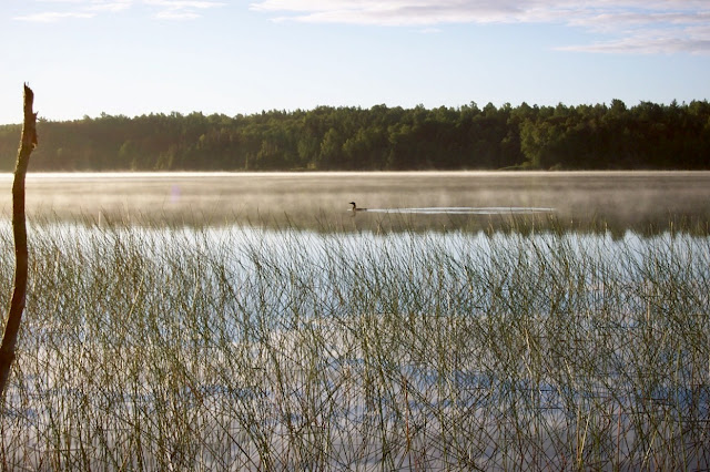
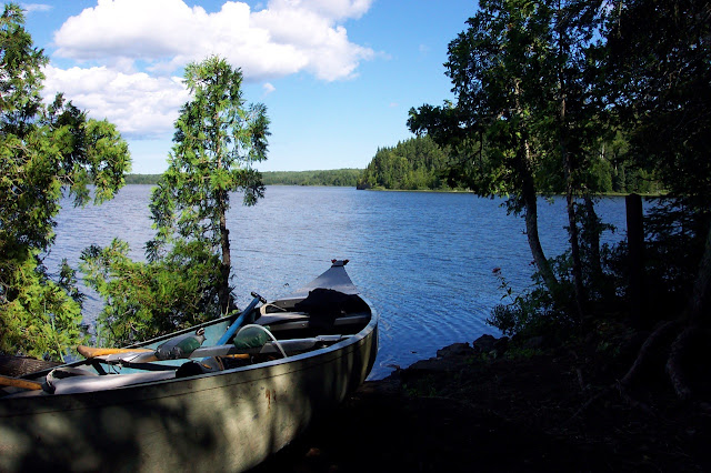
Get link Facebook X Pinterest Email Other Apps August 25, 2020 Just after sunrise at the Lake Richie canoe campsite. Read more
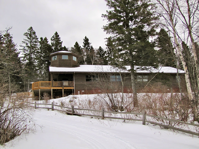
Get link Facebook X Pinterest Email Other Apps August 24, 2020 The Windigo VC, during 2010's Winter study. Read more
Get link Facebook X Pinterest Email Other Apps August 22, 2020 Late Fall on the Greenstone ridge. Read more
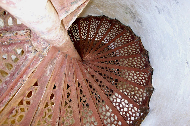
Get link Facebook X Pinterest Email Other Apps August 21, 2020 Going round and round on the Menagerie Island lighthouse stairs. Read more
Get link Facebook X Pinterest Email Other Apps August 20, 2020 It's another Bleeding Tooth fungus. Read more
Get link Facebook X Pinterest Email Other Apps August 19, 2020 Late fall and almost to the tower. Read more
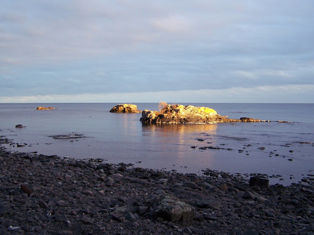
Get link Facebook X Pinterest Email Other Apps August 18, 2020 Sunset on the southeast side of Mott and the sauna beach rock. Read more
Get link Facebook X Pinterest Email Other Apps August 14, 2020 Between Richie and Intermediate lakes. Read more
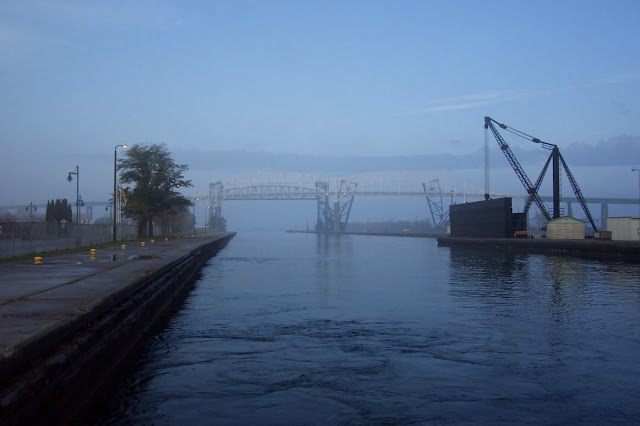
Get link Facebook X Pinterest Email Other Apps August 13, 2020 From many years ago, on the RIII, entering the Soo Locks and headed to Sturgeon Bay. Read more
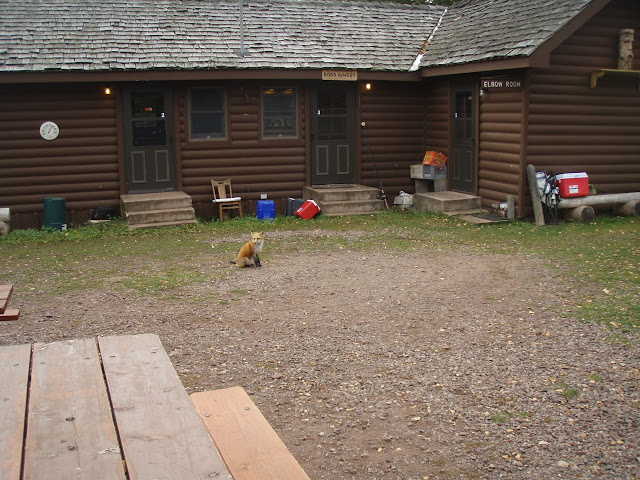
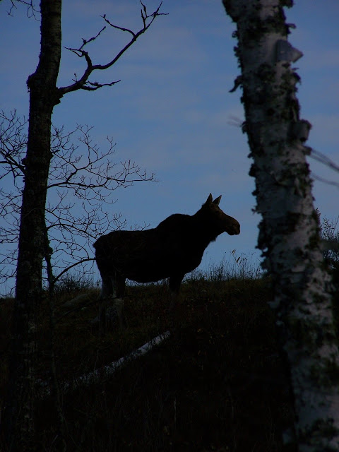
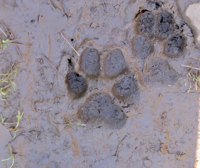
Get link Facebook X Pinterest Email Other Apps August 12, 2020 Going to the tower one afternoon and this cow was up on a little ridge, later in the day while coming back down she was still there. Read more
Get link Facebook X Pinterest Email Other Apps August 11, 2020 Late fall and the red is showing on the Greenstone ridge. Read more
Get link Facebook X Pinterest Email Other Apps August 08, 2020 And it's the West Caribou island arch. Read more
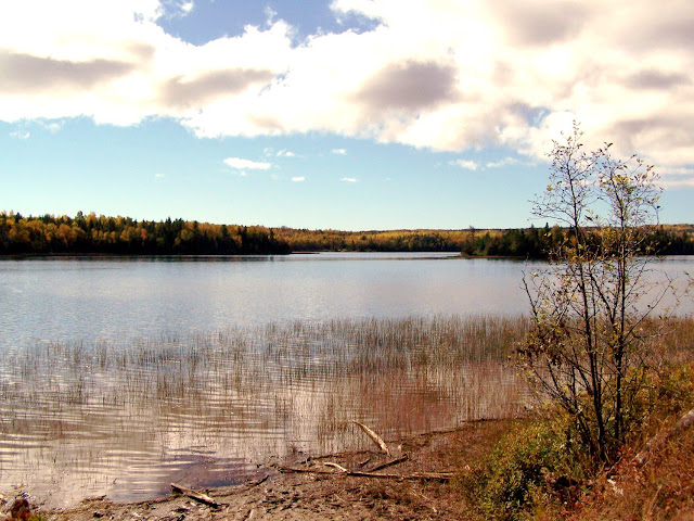
Get link Facebook X Pinterest Email Other Apps August 07, 2020 Late fall at the Lake Richie canoe put in site. Read more
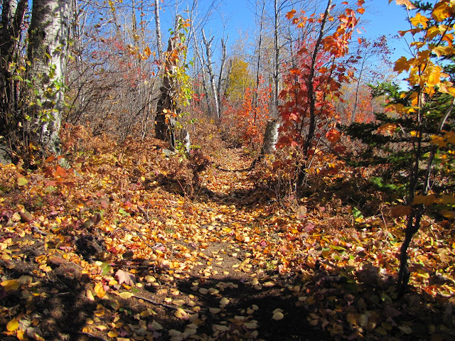
Get link Facebook X Pinterest Email Other Apps August 06, 2020 On a late fall walk to the tower. Read more
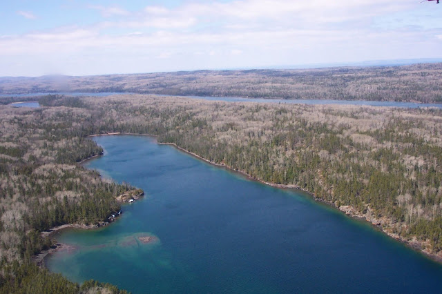
Get link Facebook X Pinterest Email Other Apps August 04, 2020 Almost back to Mott during an eagle / osprey survey flight. With Conglomerate Bay, Sumner Lake and Moskey Basin. Read more
Get link Facebook X Pinterest Email Other Apps August 01, 2020 Looking about due South from the greenstone ridge and somewhere over there is the Keweenaw. Read more